Using Naviate Filter Elements / Quick Filter to select elements and add shared coordinates.
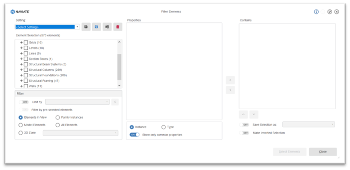
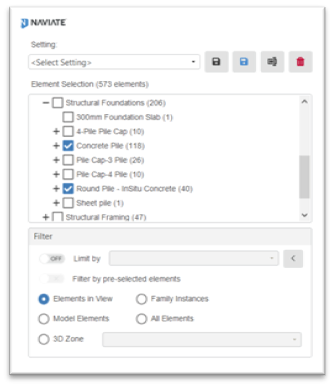
We can use Filter Elements to easily create a Quick Filter selection set, click on the Filter Elements tool on the Naviate Accelerate ribbon, in the dialog box you see an element selection list, place a tick in the pile elements that you want to select and add coordinates to. Then save this selection using ‘Save As’ give it a suitable name and exit the dialog box.
Now we can use the Quick Filter tool to make the selection of piles in our project.
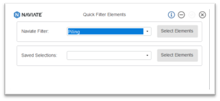
This will then select the elements defined in the Filter Elements tool.
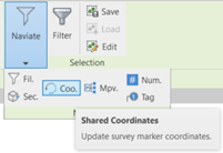
Now we can use the Shared Coordinates tool on the Naviate Filter drop down.
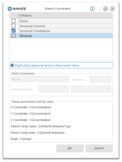
Select Structural Foundations from the category list, review the parameters that will be used, if this is acceptable click OK.
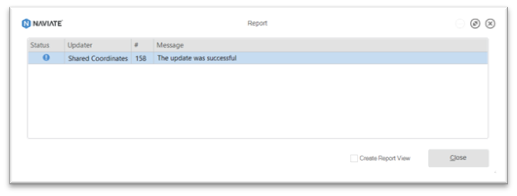
The following dialog box will inform you how many Shared Coordinates have been updated.
To learn more about Naviate, please visit our product page.
